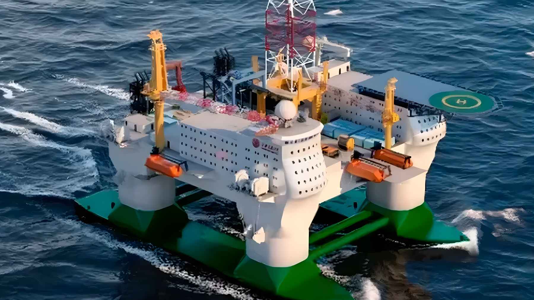
China has started building what it calls an “Open-Sea Floating Island,” an ultra-large, semi-submersible research platform meant to stay offshore for months and support work down to about 32,800 feet (10,000 meters). The project was launched in Shanghai in late March and is slated for completion around 2030.
The timing is hard to ignore. In the same week, a Reuters investigation reported that dozens of Chinese research vessels have spent years mapping seabeds and checking undersea sensors across the Pacific, Indian, and Arctic oceans, including near areas tied to U.S. and allied operations.
A platform built to stay put
Shanghai Jiao Tong University says the “floating island” is designed to move quickly to a work area and then remain there for long stretches, blending features of offshore oil and gas platforms with research ships. The design is projected to displace about 86,000 short tons (78,000 metric tons) and house up to 238 people for roughly four months without resupply.
It is big in ways that change what researchers can attempt. University reporting describes a platform about as tall as a 30-story building with a deck area close to two football fields, plus a “moon pool” roughly 102 feet by 33 feet (31 meters by 10 meters) for lowering gear through the middle.
Shanghai Jiao Tong University says the facility is meant to help test deep-sea mining systems, marine equipment, and offshore oil and gas infrastructure. It also says it will support long-term observation that could improve typhoon forecasting and marine ecosystem monitoring.
The ocean floor as a battlespace
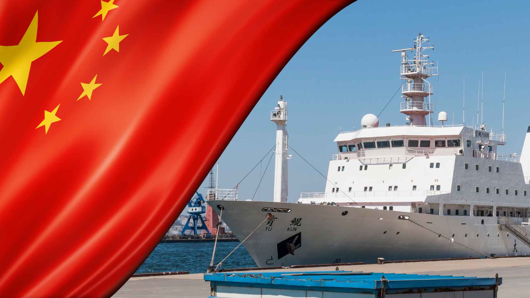
Reuters describes a Chinese mapping and monitoring campaign with clear military utility. Reuters reviewed more than five years of tracking data for 42 research vessels and found repeated seabed-surveying patterns in strategically sensitive waters, including near Taiwan and Guam and along approaches to the Strait of Malacca.
One example is the Dong Fang Hong 3, operated by Ocean University of China, which Reuters reports sailed back and forth in 2024 and 2025 near Taiwan and Guam and later crisscrossed waters between Sri Lanka and Indonesia. Reuters also reports it checked on Chinese ocean sensors near Japan, according to Ocean University records.
Why does this matter to submarines? Rear Admiral Mike Brookes, commander of the U.S. Office of Naval Intelligence, told a congressional commission that China’s surveying provides data that “enables submarine navigation, concealment, and positioning of seabed sensors or weapons,” and he called the potential military intelligence collection “a strategic concern.”
Inside the “transparent ocean” push
Reuters links today’s surveys to a longer-running effort sometimes described as making the sea “transparent.” Around 2014, oceanographer Wu Lixin proposed deploying sensors that would provide a comprehensive view of water conditions and movement, and Reuters reports the concept later received at least $85 million in backing from Shandong provincial officials.
It helps to picture what “transparent” means in practice. A U.S. Naval Institute analysis describes a layered network that can include acoustic arrays, seafloor observatories, and long-endurance gliders that transmit readings like temperature and salinity, all of which can support both environmental research and acoustic monitoring.
The same analysis points to improving ocean models, including a 2025 milestone model with 1 kilometer (about 0.62 miles) resolution for global simulations, and it argues this can sharpen acoustic forecasting. Better forecasts are not automatically “military,” but they can reduce uncertainty in a domain built on sound.
Business stakes in the deep sea
China’s “floating island” is also aimed at commercializing deep-sea technology, not only publishing papers. Shanghai Jiao Tong University describes it as a real-sea proving ground for deep-sea mining systems and offshore energy equipment, which could shorten the jump from lab prototype to field trials.
In testimony to the U.S.-China Economic and Security Review Commission, Rear Admiral Brookes notes that firms are planning to test collection vehicle maneuverability in depths beyond 13,100 feet (4,000 meters). Those are depths where repair is hard and mistakes get expensive fast.
But the testimony also spells out the overlap. It says seafloor mapping and exploration data gathered for mining can support submarine warfare by improving navigation and concealment and by informing where sensors, cables, or even pre-positioned systems could be placed.
Blast resistance and the dual-use question
Some of the sharpest debate is about survivability features that go beyond normal research needs. A South China Morning Post report, citing a peer-reviewed paper in the Chinese Journal of Ship Research, said parts of the platform reference a Chinese military standard for nuclear shock protection and use “metamaterial” sandwich panels intended to reduce blast shock effects.
So why would a scientific platform need that kind of protection? The same reporting said the researchers argued that critical compartments for emergency power, communications, and navigation control need to keep working in extreme scenarios.
Reuters adds the bigger context. It reports that experts see military value in ocean mapping data even when a voyage also serves climate research or resource surveys, especially under Beijing’s “civil-military fusion” strategy that blends civilian science with military technology development.
What to watch next
Construction will take years, which means the story may unfold in increments. Shanghai Jiao Tong University says it has set up a dedicated institute and is pursuing an approach described as “build while researching and producing,” suggesting output could begin before the platform is fully completed.
For the United States and its allies, the “tell” may be less about the platform’s silhouette and more about the pattern around it. Reuters describes surveying in tight back-and-forth lines that signals seabed mapping, and U.S. testimony is increasingly framing bathymetric and acoustic intelligence as central to future undersea competition.
At the end of the day, people do not live on the ocean floor, but modern life depends on it, from shipping lanes to the undersea cables that carry so much of the internet. Worth watching.
The official statement was published on Shanghai Jiao Tong University News.