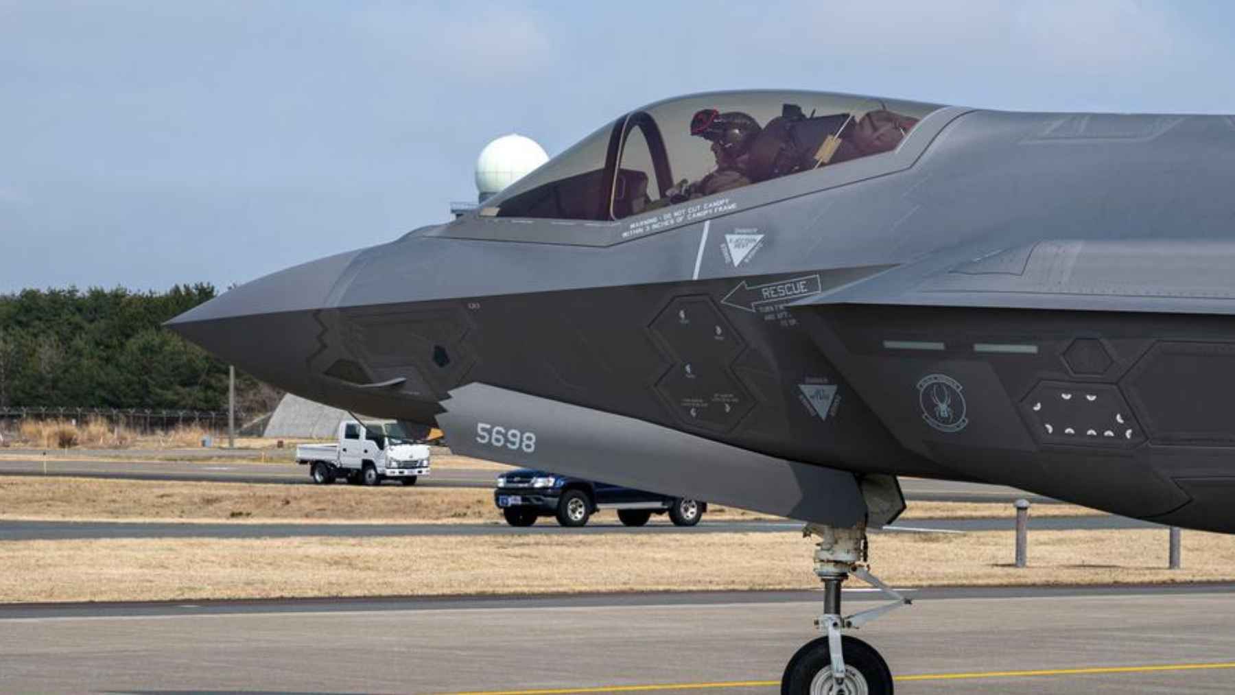
Iran is increasingly being linked to a quiet but meaningful change in how it guides drones and missiles, moving away from the U.S.-run GPS and toward China’s BeiDou satellite navigation system. If that sounds like an obscure technical tweak, it really is not. It is about who controls the “map” your weapons and vehicles trust when the airwaves get messy.
The bigger takeaway is uncomfortable in a very everyday way. The same satellite signals that help you find a coffee shop or keep a cargo ship on course can be “jammed” or “spoofed” in wartime, and the disruption does not stay neatly inside military borders.
Reports point to a quiet navigation swap
Multiple reports and analyst assessments say Iran has been shifting missile and drone guidance away from GPS and toward BeiDou, largely to reduce exposure to electronic interference. Still, even U.S. government-linked analysis stresses that open-source evidence does not yet allow a definitive public verdict on how widely Iran is using BeiDou across its arsenal.
What is not in dispute is BeiDou’s growing global footprint. China’s satellite navigation management office said it will carry out an in-orbit upgrade and described BeiDou as operating with 50 satellites, with global positioning accuracy better than 10 meters (about 33 feet).
For Iran, the attraction is straightforward. Analysts cited by Al Jazeera describe a common approach where inertial navigation keeps a weapon on a general path while satellite signals tighten the route to improve accuracy, especially over longer distances where tiny errors pile up.
Why navigation signals are easy to mess with
GPS is one part of a larger category called GNSS, which includes systems such as Europe’s Galileo, Russia’s GLONASS, and China’s BeiDou. The FAA notes that “jamming” is interference that blocks a receiver from acquiring and tracking signals, while “spoofing” feeds GNSS-like signals that can mislead the receiver into false position and time data.
This is not a fringe risk anymore. An ICAO working paper warned in 2025 that disruptions tied to GNSS radio frequency interference have become a daily occurrence in some regions, especially in airspace near conflict zones.
And yes, it can feel mundane right up until it does not. When a phone map glitches, it is annoying. When a ship or aircraft loses trustworthy positioning, the stakes jump fast.
What BeiDou can improve and what it cannot
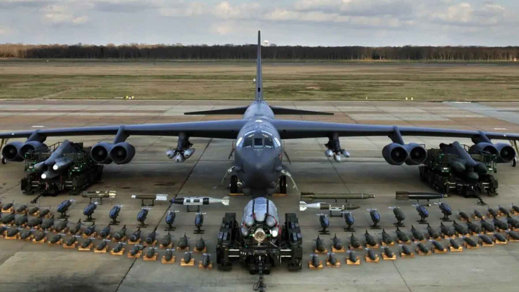
China’s satellite navigation office says BeiDou’s global positioning accuracy is better than about 33 feet, and that its precise point positioning service can reach horizontal accuracy better than 0.3 meters (about 1 foot) and vertical accuracy better than 0.6 meters (about 2 feet). For guided munitions, that gap is not academic.
But switching from GPS to BeiDou is not the same thing as becoming “immune” to interference. ICAO’s aviation-focused analysis makes a point that applies broadly: the jammer is usually closer to the receiver than the satellites are, which gives the attacker a built-in advantage, and sophisticated interference can target multiple frequencies.
That is why the most resilient setups tend to be layered. Analysts describe the logic as mixing inertial systems with satellite updates and, when possible, using signals from multiple constellations so that losing one does not collapse the whole navigation picture.
The partnership story behind the satellites
Iran’s reported navigation shift fits into a wider pattern of relationships that blend defense needs with technology access. A U.S.-China Economic and Security Review Commission fact sheet says China gave Iran full military access to BeiDou in 2021, but also emphasizes uncertainty over how extensively Iran’s forces actually use BeiDou versus GPS.
Iran’s space and defense ties with Russia have also been deepening in visible ways. Reuters reported that three Iranian satellites were launched from Russia in late 2025, describing Iran’s growing reliance on Russia for access to orbit amid sanctions pressure.
Then there is the supply chain layer – the part that rarely gets attention outside specialist circles. The Atlantic Council has pointed to sanctions and enforcement actions tied to components like gyro navigation devices, the kind of enabling tech that matters whether the platform is a drone, a missile, or something that needs reliable positioning without outside help.
The business ripple effects are already visible
Satellite navigation warfare does not stay on the battlefield. Reuters reported in June 2025 that maritime agencies warned of surging electronic interference around the Strait of Hormuz and the Gulf, including reports of disruption linked to the vicinity of Iran’s port of Bandar Abbas, affecting AIS position reporting and creating navigational challenges for ships.
Aviation is feeling the same pressure. The FAA’s GNSS Interference Resource Guide says the problem has spread rapidly and is persistent, and it cites an IATA figure showing a 65% increase in the rate of GNSS loss per 1,000 flights in the first half of 2024 compared with 2023.
That translates into reroutes, higher workloads, and rising operational costs, even when no one wants to publicly point fingers.
Meanwhile, BeiDou is also a business platform, not only a military capability. Reuters reported that related domestic products and services were projected to reach about 1 trillion yuan (about $156 billion) by 2025, and that BeiDou-linked products had been exported widely, helping explain why adoption abroad matters to Beijing beyond pure geopolitics.
What to watch next
China’s in-orbit upgrade announcement matters here because it signals continued investment and modernization, not a static constellation. In its March 2026 update, China’s satellite navigation management office framed the upgrade as a move to improve service quality while maintaining system performance.
On the military side, the next phase will likely be about resilience rather than any single “silver bullet” constellation. ICAO has urged faster work on complementary positioning, navigation, and timing systems and better interference detection and reporting, a reminder that GNSS vulnerabilities are now treated as an operational fact, not a hypothetical.
For Iran specifically, the key thing to keep in mind is evidence. As the USCC notes, it is plausible Iran is relying on BeiDou, but open-source visibility is limited, so bold claims of complete immunity should be treated cautiously. Still, the direction of travel is hard to miss.
“The official statement was published on Xinhua.